
Kasti, Rajasthan
Kasti
Kaasti | |
|---|---|
village | |
 Kasti Location in Rajasthan, India  Kasti Kasti (India) | |
| Coordinates: 26°34′21″N 073°13′38″E / 26.57250°N 73.22722°E | |
| Country | |
| State | Rajasthan |
| District | Jodhpur |
| Tehsil | Bawadi |
| Government | |
| • Body | Village panchayat |
| Time zone | UTC+5:30 (IST) |
| PIN | 342037 |
| ISO 3166 code | RJ-IN |
| Vehicle registration | RJ- |
Kasti also known as Kaasti is a panchayat village[1] in the state of Rajasthan, India.[2][3] Administratively, Kasti is under Bawadi tehsil of Jodhpur District in Rajasthan.[4] Kasti is 8 km by gravel road east of the village of Netran (Netra) and National Highway 65. It is 8 km by hard-surfaced road southeast of the town of Baori.[5]
There are two villages in the Kasti gram panchayat" Kasti and Lunawas.[4]
Demographics[edit]
In the 2001 census, the village of Kasti had 2,017 inhabitants, with 1,011 males (50.1%) and 1,006 females (49.9%), for a gender ratio of 995 females per thousand males.[6]
Notes[edit]
- ^ 2011 Village Panchayat Code for Kasti = 35830, "Reports of National Panchayat Directory: Village Panchayat Names of Bawadi, Jodhpur, Rajasthan". Ministry of Panchayati Raj, Government of India. Archived from the original on 17 May 2013.
- ^ Kāsti (Approved) at GEOnet Names Server, United States National Geospatial-Intelligence Agency
- ^ 2001 Census Village code for Kasti = 01950600, "2001 Census of India: List of Villages by Tehsil: Rajasthan" (PDF). Registrar General & Census Commissioner, India. p. 388. Archived (PDF) from the original on 13 November 2011.
- ^ a b 2011 Census Village code for Kasti = 084802, "Reports of National Panchayat Directory: List of Census Villages mapped for: Kasti Gram Panchayat, Bawadi, Jodhpur, Rajasthan". Ministry of Panchayati Raj, Government of India. Archived from the original on 16 May 2013. Retrieved 18 May 2013.
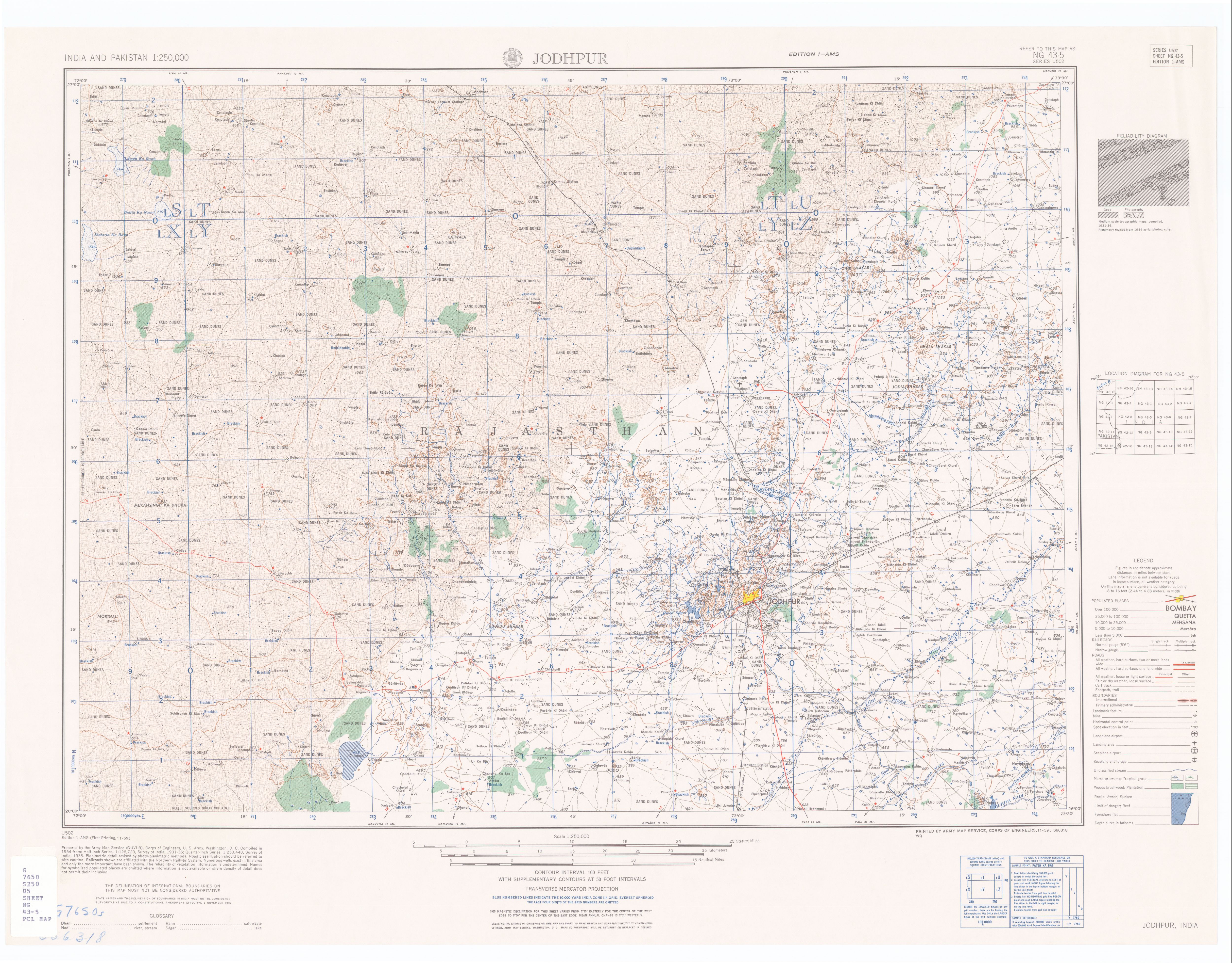
- ^ Jodhpur India, Sheet NG 43-05 (topographic map, scale 1:250,000), Series U-502, United States Army Map Service, November 1959
- ^ "Census 2001 Population Finder: Rajasthan: Jodhpur: Bawadi: Kasti". Office of The Registrar General & Census Commissioner, Ministry of Home Affairs, Government of India. Archived from the original on 18 May 2013.
External links[edit]
- "Official Website of Jodhpur District". Archived from the original on 23 May 2013.